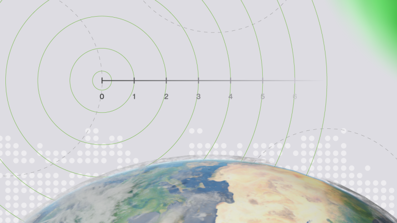
In a growing number of GNSS use cases, high precision isn’t just preferable, but an absolute necessity. Areas like precision agriculture, surveying, and advanced mapping systems hinge on positional accuracy that can be measured down to the centimetre.
However, when relying solely on traditional space systems, such as GPS, Galileo, or Beidou, this level of pinpoint accuracy remains elusive. Since these systems fall short of delivering the required precision, the distribution of correction data to end users has proven vital for bridging the accuracy gap.
Why traditional GNSS services aren’t always enough
GNSS systems have served as the backbone of location-based services across the world for decades, particularly in aviation, maritime and, more recently, personal navigation devices. But while these systems provide signals that enable receivers to determine their position with an accuracy down to less than a metre, they can only do so under ideal conditions. However, the keyword here is "ideal." Environmental factors, satellite geometry, accuracy of satellite orbits, and atmospheric conditions are just some issues that can degrade the positional accuracy.
For many applications, the typical accuracy range is sufficient. Yet now we have applications like precision agriculture or advanced surveying where every centimetre counts. In these use cases, even minor inconsistencies can be detrimental. The accuracy requirements underscore the limitations of relying solely on traditional GNSS signals. To achieve the gold standard of centimetre-level accuracy, we need an augmentation in the form of additional correction data.
In GNSS use cases, achieving top-tier accuracy is rather like assembling a puzzle, with each piece representing a different correction approach. The primary methods for enhancing GNSS accuracy in use today include SBAS (Satellite-Based Augmentation System), GBAS (Ground-Based Augmentation System), RTK (Real-Time Kinematics), PPP (Precise Point Positioning), and the hybrid RTK-PPP.
For example, SBAS uses additional satellite broadcasts to correct ionospheric disturbances, enhancing positional accuracy. GBAS provides additional data via radio channel. Unfortunately, as GBAS has been developed for the aerospace industry, it’s expensive to deploy and maintain, and covers only relatively small regions – typically around airports. For some users, the GNSS enhancements provided by SBAS / GBAS can be satisfactory. However, the focus of these augmentation systems is integrity.
Another method, RTK, stands out as a frontrunner in delivering exceptional accuracy by leveraging correction data from a network of ground-based reference stations. Historically, the RTK corrections were transmitted via radio, but nowadays they rely on protocols based on TCP/IP, such as NTRIP or MQTT.
If we view RTK as regional, since it needs a dense network of reference stations to cover large areas, we can consider PPP a wide area coverage system. PPP corrections are often distributed from satellites, typically on a different frequency than core GNSS signals, and not all rovers’ receivers support them. Therefore, some PPP systems like Galileo High Accuracy Service (HAS) provides corrections also via NTRIP. While PPP uses precise satellite clock and orbit data for corrections, RTK-PPP combines the strengths of both RTK and PPP to offer impressive speed and precision.
The challenges of building a robust (N)RTK network
Although the RTK method garners the most attention for its impressive ability to achieve high GNSS accuracy, the journey to implement it isn't without its hurdles. At the heart of RTK lies a complex network architecture, sometimes comprising over a thousand reference stations and exponentially more rovers, all depending on seamless real-time communication to function.
One challenge arises with the introduction of the Virtual Reference Station (VRS) approach. VRS consolidates data from multiple reference stations, with each providing its own corrections data stream. However, with this consolidation comes scalability concerns. As every new rover demands its own dedicated VRS, the system confronts escalating pressures in data generation, processing, and transmission. In environments where every millisecond counts, suboptimal system design can fast escalate into degraded accuracy due to larger latency or even result in complete service disruption. In some cases, poor software design can be compensated by adding hardware resources, but this becomes costly and unmanageable at certain point.
As complexity grows, so too does the risk of system overload. An overloaded system doesn't just mean slower data delivery; it can have direct repercussions on the precision of the GNSS data itself. With a constant influx of data requests and the burden of handling individualised correction streams for every rover, a system running close to its capacity limits can suffer from data loss, increased latency, or even unplanned outages.
For applications where real-time precision is non-negotiable, such as autonomous vehicles, these interruptions can be more than just inconvenient. They can compromise the safety and integrity of operations, making the robustness of the RTK network not just a luxury, but a critical necessity.
In GNSS precision applications, RTK networks bridge the gap between satellite capabilities and the ground-truth demands of high-precision applications. However, as with any advanced technology, the quest for perfection brings its own set of challenges. Addressing these, with a focus on robust system design and scalability, is pivotal to unlocking the full potential of GNSS and ensuring that industries relying on maximum precision can continue to thrive and innovate.
Navmatix leverages its expertise in GNSS to help businesses overcome their data distribution challenges and innovate. Call us today to learn more.
Written by: